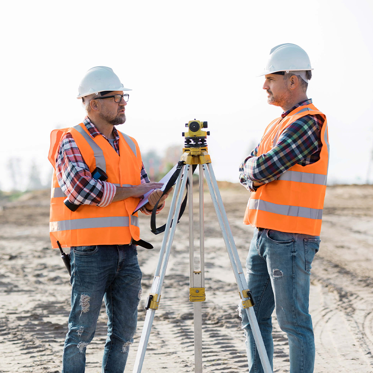
GIS & Data collection is the process of gathering and measuring information on targeted variables in an established system, which then enables one to answer relevant questions and evaluate outcomes. While methods vary by discipline, the emphasis on ensuring accurate and honest collection remains the same.
Vedarax Elite provides GIS-based solutions to analyze, store, and visualize geographic data through interactive maps. Our approach focuses on accurate data collection to support reliable analysis and informed decision-making. Using geotagging and geo-blogging technologies, we enable access to location-specific information, reducing errors and enhancing data integrity.
We offer manpower deployment, HR management solutions, training & skill development, solar development, EV charging station services, and GIS survey & data collection.
Our recruitment process includes screening, skill assessment, background verification, and industry-specific training to ensure quality and reliability.